Sydney Amelia West
Submerged Aquatic Vegetation and Oyster Habitat Destruction in the Chesapeake Bay
GIS Applications
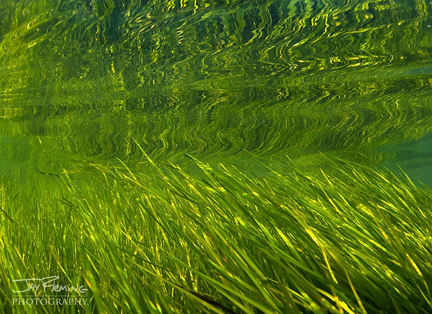
For my GIS project, I decided to look at the levels and ranges of submerged aquatic vegetation in Maryland’s portion of the Chesapeake Bay, and I compared those counts of SAV quantity over a 10-year time period. I mapped submerged aquatic vegetation data from 2008 and 2018 in order to compare the increased, decreased, or stable levels of SAV in Maryland’s portion of the Chesapeake Bay. I also downloaded data about areas of heavily worked waterfronts, or locations where fishermen or oyster harvesters center their businesses, and overlayed those data points on, both, the 2008 and 2018 SAV data. Data about the worked waterways can help indicate areas where there is a loss of submerged aquatic vegetation, but they do not always correlate completely, which is why it is important to analyze the information thoroughly
This project is centered on data analysis of visual progressions or degressions of submerged aquatic vegetation in the Maryland portion of the Chesapeake Bay. The information being looked at is a compiling of Maryland-derived GIS data, and even though the Chesapeake Bay watershed is connected to more states than just Maryland, for the sake of clarity and simplicity, the analysis only covers the portions within the Maryland state boundaries. These boundaries are clearly labeled within the map and they will be easily identifiable for viewers. Since this project will show a progression or degression of submerged aquatic vegetation, this will also be a form of data updating. From the 2008 data, 2018 will be a 10-year update on the health of the SAV populations and locations, and this can help to determine if changes in the areas around the watershed are impacting the bay’s health.